When we had stayed at The Pad Silverthorne last year and used the free bus to hike Lily Pad Lake, Nick and I examined the map and thought it would be possible to thru-hike to Vail using buses only. Well, we put it to the test without having much intel about some of the trails that we used to complete the hike. I wanted to share this with others who are interested in a car-free thru-hike! It ended up being some of the most beautiful scenery we have seen.
- The trails we used were Buffalo Cabin to Buffalo/South Willow Connector to Gore Range to Gore Creek, ending at the Gore Creek Trailhead on the Vail side. We also included a side trip to Gore Lake off of the Gore Creek trail.
- The hike was about 15 miles, 3700 feet gain and 4600 feet descent. I think the route finding would be a bit easier going the other direction, but there would be more elevation gain. I would recommend the hike only for advanced and experienced backpackers/hikers.
- This could done as a day hike (we met some people doing that) if you skip Gore Lake. In this case, it would be 11.5 miles and around 2,500 gain/loss.
- I will go into more details in my day to day recaps, but the main route is to take a Bustang to Frisco, take the free bus to Silverthorne and then the free Wildernest bus to Trailhead (Lily Pad Lake trailhead). Then, on the Vail side, we walked to the Main Gore/Bighorn bus stop from the Gore Creek trailhead and took the free bus to Vail, where we then took a bus back to Denver (in this case Pegasus, which I only recommend if you have a smaller pack, otherwise take Bustang which has luggage storage). Don’t forget to used the pull cord to request your stop on the buses.
- Check out my LighterPack for my backpacking gear and weight.
Day 1: Frisco to Gore Range
After getting off of the Colorado Trail, Nick met me in Frisco at our favorite spot, Outer Range Brewing. He had a chicken bowl waiting for me, and I grabbed a beer. Nick resupplied my food, we repacked and then set out to the bus stop. We were able to line it up so we caught the bus to Silverthorne and then immediately hopped on the Wildernest bus. We got off at the “trailhead” stop.
There was a helpful sign explaining how to access the trails from the bus (along with a bus schedule).

This is what our trailhead looked like.

The trail started nice enough. As we got to the Buffalo/Willow Connector, there were some very steep downhill sections. The trail appeared to have been rerouted and was a bit tough to follow at times.

However, we kept our wits about us and navigated based on seeing people and following the correct direction, and eventually made it to the Gore Range trail, which was much more easily navigable. It appeared most people went the other direction, and there was some blue chalk that appeared to be the best route to follow (but was harder to see from our direction).

I was really tired from my backpacking earlier in the day, and it was later afternoon already, so we started looking for a campsite pretty quickly. We found a great spot after the waterfall lookout, which was actually right along the upper section to the waterfall.

We set up and discovered quickly that we had a big mountain goat friend.

He got a lot closer than we would have liked, but we quickly discovered he was harmless and would not be scared away, so we lived in somewhat harmony until he retired for the night (and we did not see him again in the morning).
Our campsite area had a nice big rock overlook, so we made our meals up there and hung out for a bit before getting tired.


We were woken in the night by campfire smoke; it’s technically legal to make campfires in certain parts of the wilderness, but I strongly dislike when people do it. Personally, I never make fires when backpacking, and I don’t have much trust that people know what they are doing with campfires. It was also strangely not as cold as expected for nighttime, so we removed some layers. Eventually, we went back to sleep.
Day 2: Gore Range to Gore Creek to Gore Lake
The next day, we woke up in time to watch the sunrise from our rock viewpoint. We made coffee and breakfast and set off early for a big day.

We really had no idea what the Gore Range trail would be like, but it turned out to be really beautiful. We saw lots of birds, marmots, and pika.

There were lots of trickling streams, trees, and mountain views, with a gradual uphill slope to the trail.


We took a break near the junction with the Gore Creek Trail. Soon we would be climbing over Red Buffalo Pass, per our maps. The scenery was breathtaking, with only a few other hikers and runners around.

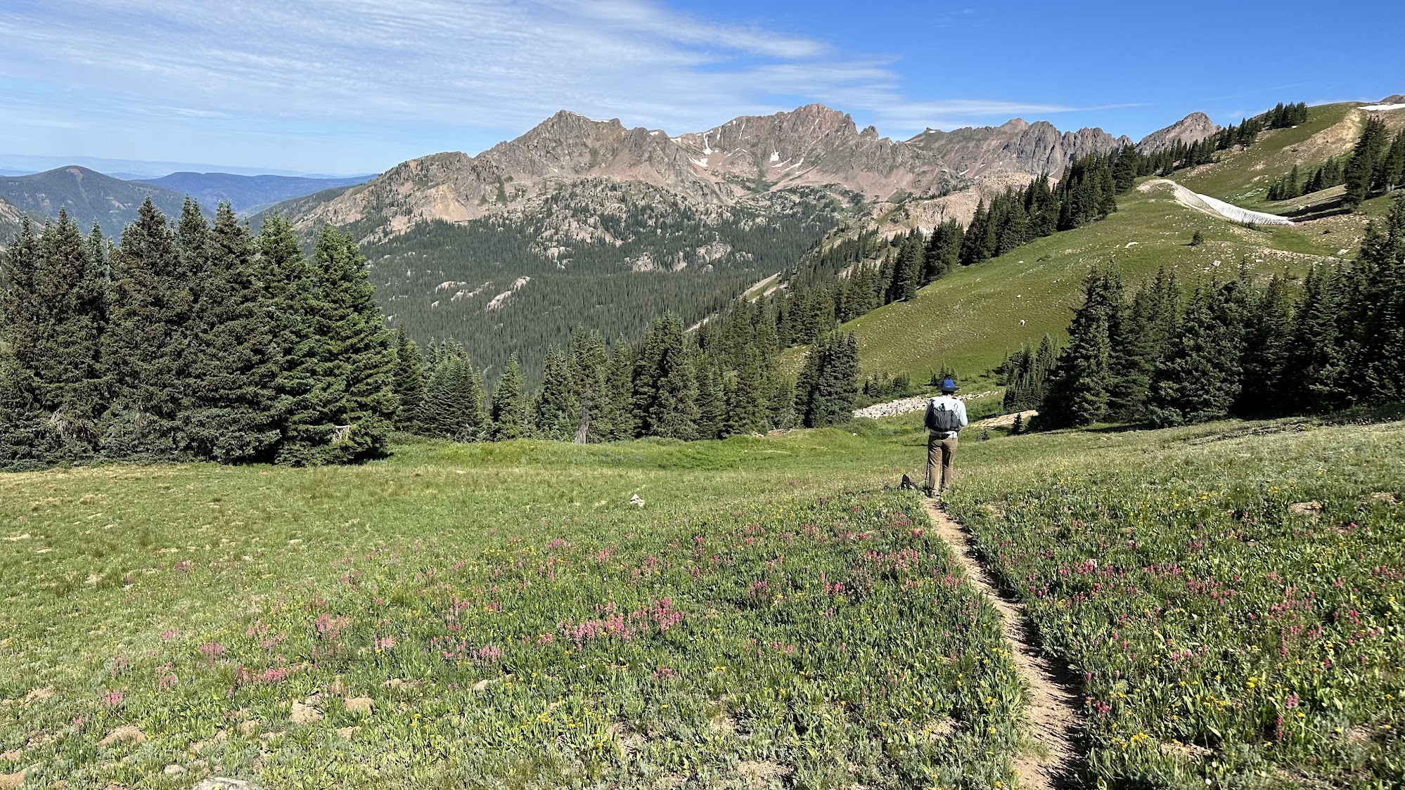
We definitely felt lucky as we climbed in the beautiful alpine and saw perhaps the most wildflowers we had seen all summer, including pink paintbrush, purple elephant’s head, and a variety of yellow flowers.


There was a very steep climb up toward the top of Red Buffalo Pass.

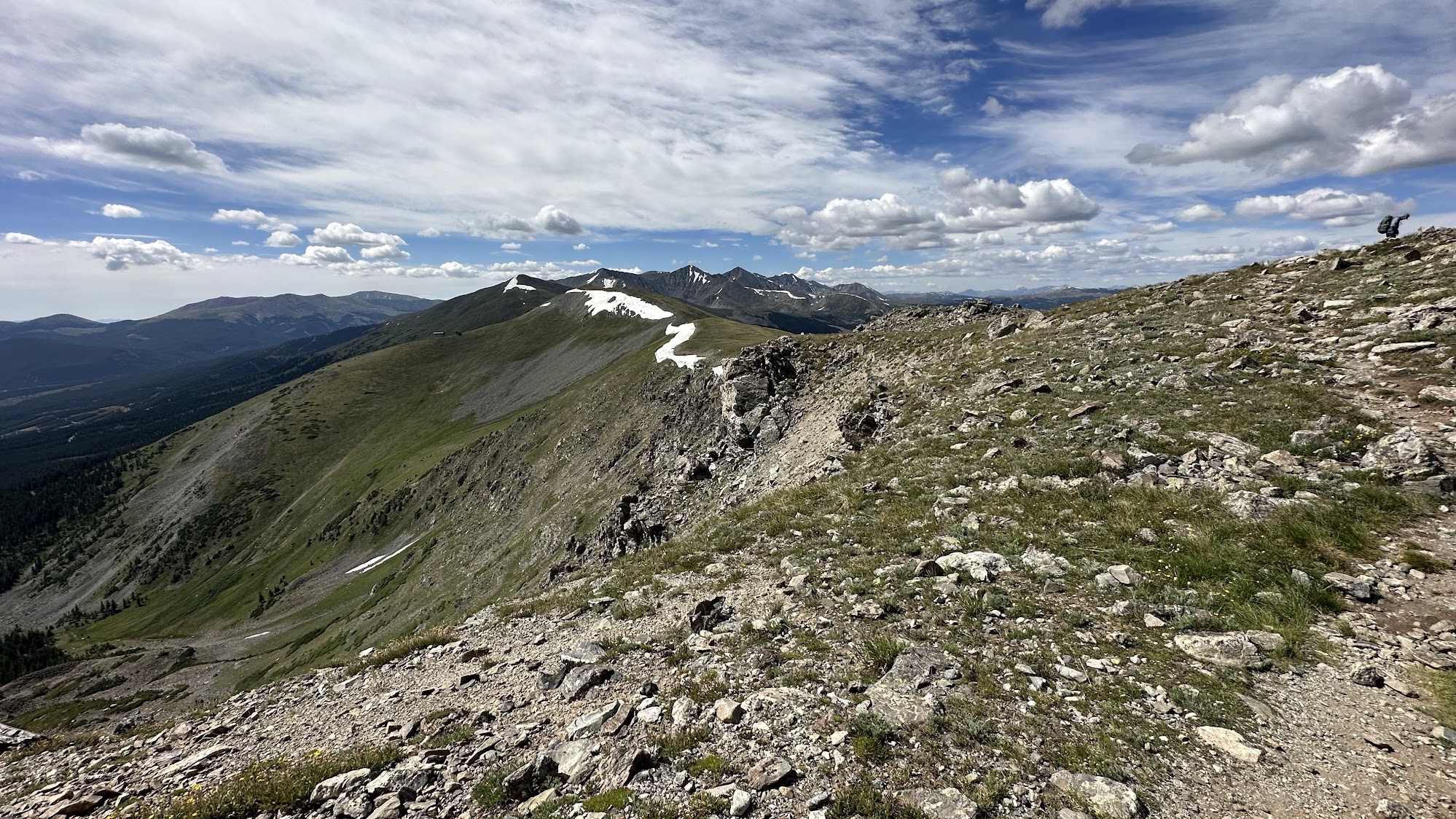
At the top we had amazing views of Buffalo Mountain and Silverthorne on one side.

We took a break facing the Vail side, where we saw what we would do after we hiked down the valley and went back up; go to Gore Lake.

Heading down the Vail side was extremely steep and slippery in parts because of the rocks and travel; we used our trekking poles and stuck our feet to the sides of the trail at times to head down. This is part of why I would rate this trail as difficult; it has a lot of elevation and some trickier sections. 
It continued to be very beautiful with lots of flowers as we headed down and the trail finally flattened out.


We saw a few people every so often, but the trail was still not very populated with everyone going the other direction. The trail was overgrown and sometimes a bit confusing to follow at times. However, we knew Gore Creek was supposed to be on our right, which helped. 

We knew we had made it when we got to this crossing of Gore Creek and in a sudden shock, heard lots and lots of people. Backpacking to Gore Lake from the Vail side is extremely popular.

Once we crossed Gore Creek, we had a steep uphill climb, busy with lots of people and some large groups with huge packs climbing up as well. We were worried it was going to be crowded at the lake, but the area is huge, so even though it was probably as busy as could be on a Saturday night, we easily snagged a fairly private spot.

The destination of the lake was well worth the long day and the crowds.

Of course I went for a dip.

We ate, read, and had our hot chocolate by the lake. The only downside was the most mosquitos we had seen all summer. We watched groups of mountains goat wander impossible looking paths through the rocks and people swimming and camping all around the lake.

It even rained while the sun was still out in the late afternoon, which was actually really pretty.

We still had goat friends and even babies; I did not get good pictures of the babies with their faces showing, but here is a friend we had at our camp. We carefully maintained our distance as best we could and let the goats be.

We went to sleep early again and had another surprisingly warm night.
Day 3: Gore Lake to Vail
We were definitely motivated to wake up at sunrise again so we could get an early start to beat the crowds down to the trailhead. Plus, eating breakfast and coffee and watching the sun come up over the lake was beautiful.

We quickly packed up and said goodbye to the lake and began to head out.

Hiking out in the morning is always really pleasant. The light is gorgeous, the air is still cool, and animals are out, but few people are up yet.

We were pleased by our pace getting down the steep Gore Lake Trail. Now, as we hiked along Gore Creek to the trailhead, this was new territory. At first, we were happy with how flat and easy to manage the trail was. It was nice hiking along the creek, with lots of flowers and pretty scenery.

The trail definitely got more difficult and had some very steep, technical sections. Lots of rocks, tree roots, and loose gravel. Plus, we were going down even further than what we had ascended. As the day wore on, it got hot and crowded. We were very happy to reach the wilderness sign that meant we were almost at the trailhead.

At the trailhead, there were Town of Vail volunteers to help direct hikers. We chatted with them, and they were impressed by our bus only trip. They confirmed that we would need to walk along a road to Main/Bighorn bus stop and could take either Vail bus to town. They also had this “bus it to hike it” sign at the trailhead.

The road you walk to the bus stop is not too busy, and soon enough, we were at a nice bus stop with shade and trash and a schedule.


After less than 15 minutes wait, we caught the bus to town. We made it to the Vail Transit Center and met Nick’s aunt Jill, who lives in the area. Since it was Sunday, it was Vail Farmer’s Market day, which is both a food and crafts market. There are vendors serving lunch, regular farmer’s market type stalls, and lots of nice local products and goods. After grabbing some pizza and a few items from the market, we headed to the transit center again to catch Pegasus, since that was the next bus (only catch Pegasus if you have a small pack; bigger packs will need the luggage storage of Bustang, which doesn’t come as frequently).
It rained on our ride home. Our whole trip had pretty good weather with only a bit of rain, so we definitely lucked out missing the weather. We still had I-70 traffic, but being on the bus, we could read or nap instead of just sitting in the traffic.
Overall, this trip was definitely an adventure and turned out better than I could have imagined. We started by looking at a map and theorizing this trip could be done, and it actually worked. And it had some of the best scenery, wildflowers, and wildlife I’ve seen in Colorado. I think that even with Gore Lake being so stunning, our favorite part was around Red Buffalo Pass, which we had almost to ourselves and was scenery out of a dream.


